
 Image 1 of 1
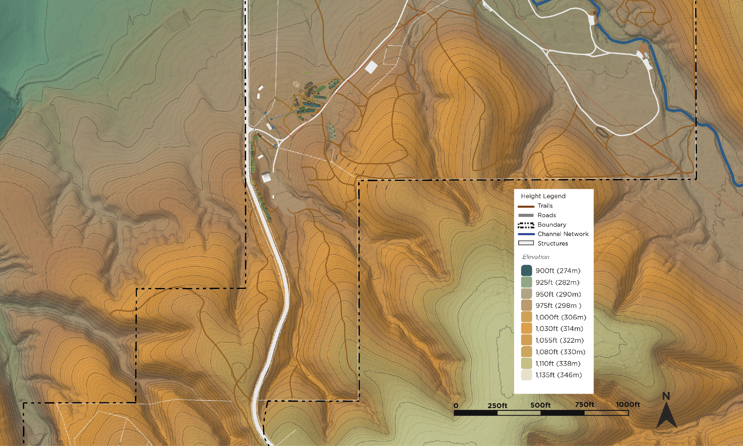
Elevation and contour maps reveal the shape of the land and how water, materials, and energy move across it. This layer helps identify ridges, valleys, and key transitions, guiding placement of earthworks, access, and plant systems that align with natural topography and improve long-term landscape function.
Elevation and contour maps reveal the shape of the land and how water, materials, and energy move across it. This layer helps identify ridges, valleys, and key transitions, guiding placement of earthworks, access, and plant systems that align with natural topography and improve long-term landscape function.